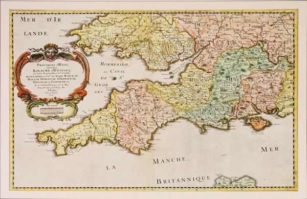
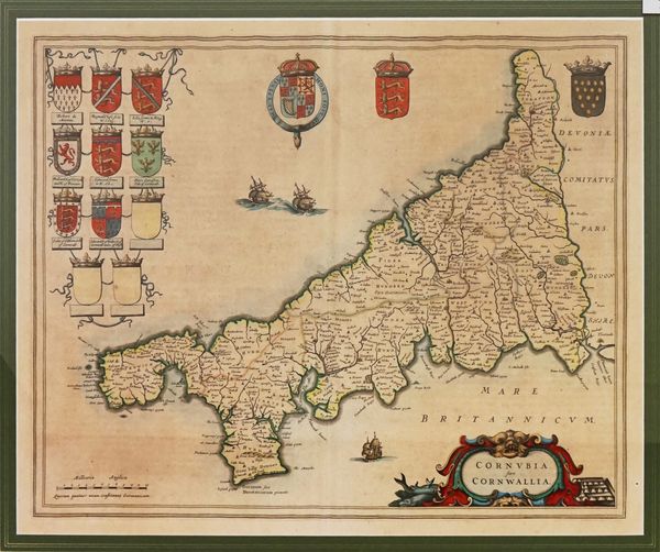
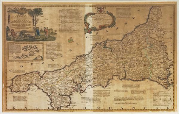
CORNWALL - Thomas KITCHIN (1718-84). A New Improved Map of Cornwall. [etc.]
| Estimate: | £200 - £300 |
| Hammer price: | £130 |
Thomas KITCHIN (1718-84). A New Improved Map of Cornwall from the Best Surveys and Intelligencies Divided into its Hundreds. London: Printed for T. Bowles, [c. 1750]. Large hand-coloured engraved map, title within fully hand-coloured figural cartouche, dedication within baroque cartouche, inset map of The Isles of Scilly (browned apart from a strip an inch wide at the centrefold, some spotting and staining), 515 x 680mm., framed and glazed. With Nicolas Sanson's Provinces d' West; autrefois Royaume d' Westsex: ou sont Aujourdhuy les Comtes Hant-shire, et l' Isle de Wight, Barck-sh. Wilt-sh. Dorcet.sh. Somerset.sh. Devon.sh. et Cornwall [etc] (Paris, 1654, framed and glazed) and Blaeu's Cornubia, sive Cornwallia (Amsterdam, [c.1640], hand-coloured engraved map of Cornwall, framed and glazed). (3)


