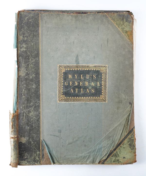
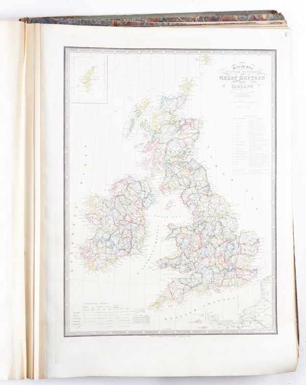
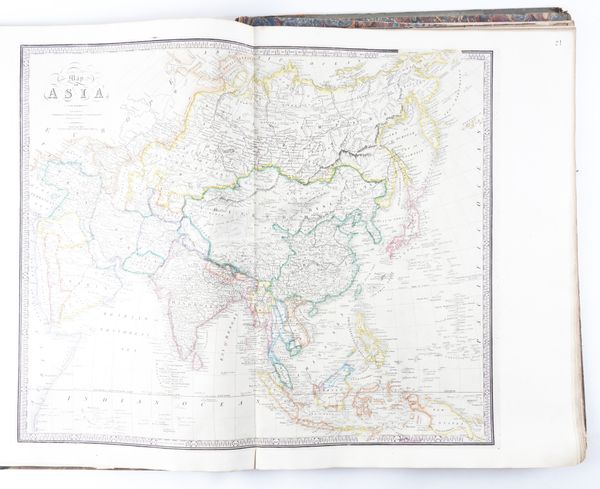
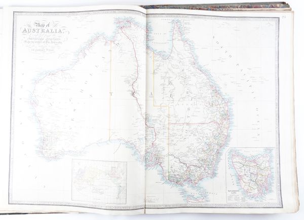
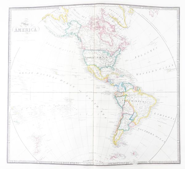
WYLD, James (1812-87), the younger. A New General Atlas of Modern Geography, London, [n.d. but 1873 or later], large folio, 42 hand-coloured engraved maps only (of 43, lacking map 14), contemporary half morocco (very worn, covers detached).
| Estimate: | £300 - £500 |
| Hammer price: | £850 |
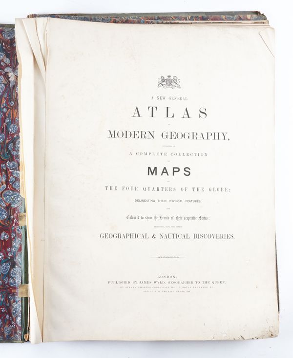
WYLD, James (1812-87), the younger. A New General Atlas of Modern Geography, consisting of a Complete Collection of Maps of the Four Quarters of the Globe; Delineating their Physical Features, and Coloured to show the Limits of their respective States; including, also, the latest Geographical & Nautical Discoveries. London: James Wyld, [n.d. but probably 1873 or later]. Large folio (585 x 455mm). Contents leaf printed in blue, 42 engraved maps, hand-coloured in outline, only (of 43, lacking map 14 ("Confederated States of Germany, with the Empire of Prussia and the Empire of Austria"), maps 17 and 41 on 2 sheets, each numbered separately, many folding or double-page (lacks all before title, some fraying and a few small holes to lower fore-corner of the title not affecting letters, occasional light spotting and staining). Contemporary green half morocco gilt, original morocco label lettered and decorated in gilt on the upper cover (very worn, covers detached). Although the title page bears no date of publication, two maps include dates: map 10 which is titled "Map of France describing the New Limits according to the Treaty of Peace" is dated 1872 and map 30 which is titled "Map of Africa Shewing the Sources of the Nile by Capt. Speke, Grant & Dr. Livingstone" and which has the date 1873 printed in the lower margin (i.e. outside of the engraved frame).
