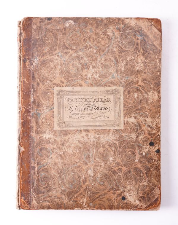
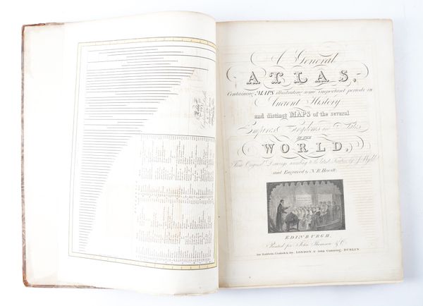
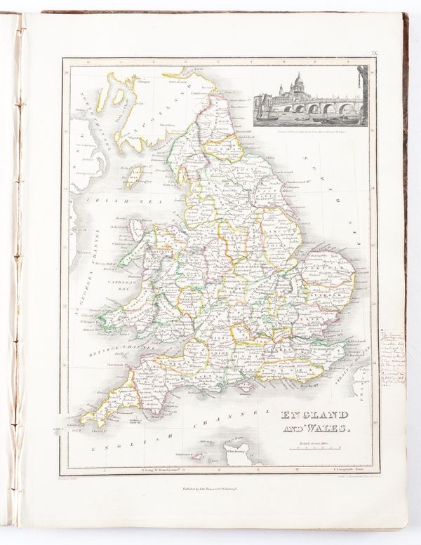
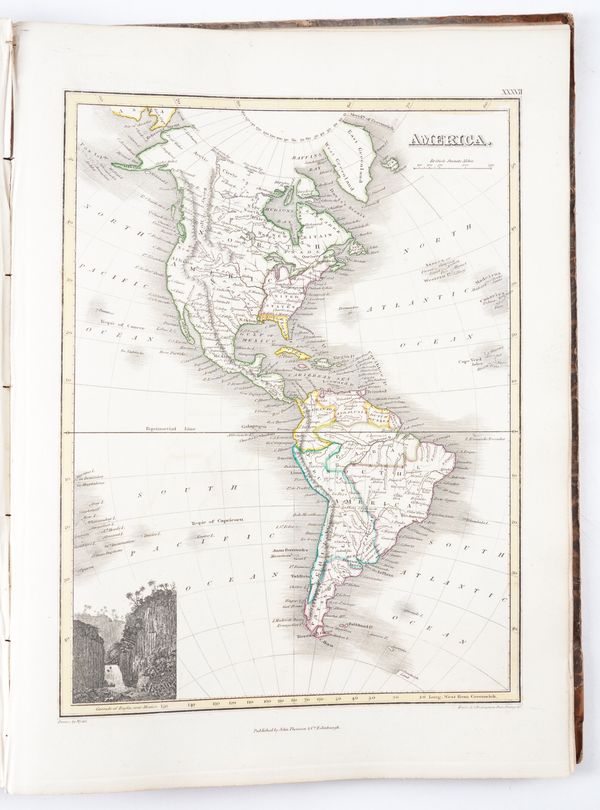
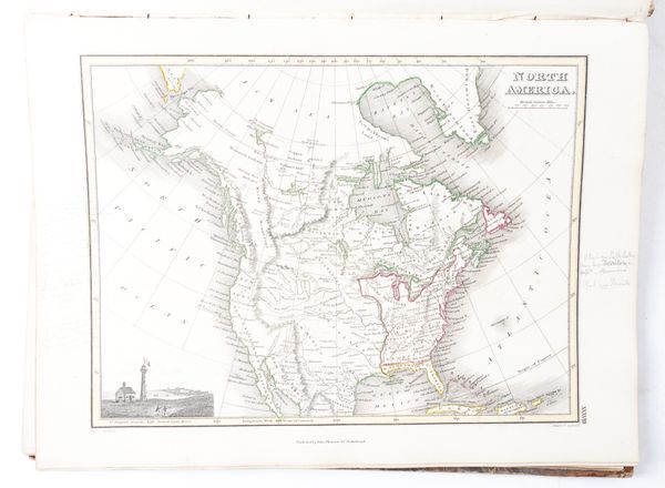
WYLD, James (1790-1836), the elder. A General Atlas, Containing ... Maps of the Several Empires, Kingdoms and States in the World, London, [c.1822], folio, 44 engraved maps, hand-coloured in outline, contemporary half calf (worn, partly disbound).
| Estimate: | £300 - £500 |
| Hammer price: | £550 |
WYLD, James (1790-1836), the elder. A General Atlas, Containing Maps illustrating some important periods in Ancient History and distinct Maps of the Several Empires, Kingdoms and States in the World, from Original Drawings, according to the latest Treaties by J. Wyld and Engraved by N. R. Hewitt. Edinburgh: Printed for John Thomson & Co., [n.d. but c.1822]. Folio (365 x 270mm). Engraved "Table of the Comparative Lengths of the Principal Rivers of the World" as a frontispiece, hand-coloured wood-engraved illustrations, "Table of the Comparative Heights of the Principal Mountains in the World," 44 engraved maps, as called for, numbered I - XLIV, hand--coloured in outline, vignette views (the frontispiece offset onto title, one map torn at the margin without loss, some light mainly marginal spotting and staining). Contemporary half calf with the original printed label mounted on the upper cover (worn and mostly disbound, covers detached, lacks spines, three large black ink spots to upper cover). Provenance: E. M. Graham (faint old pencil signature to front pastedown); some old ink annotation at a few margins; a few old autograph notes relating to the work loosely-inserted.
