Lot 673
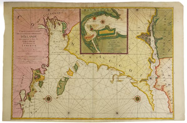
MORTIER, Pieter (1661-1711). Carte Particuliere des Costes Occidentales d' Ireland qui la Baye de Galloway et la Riviere de Lymerick, [Amsterdam, 1693], large hand-coloured engraved chart of Galway Bay and the Limerick River, 601 x 862mm., unframed.
| Estimate: | £300 - £500 |
| Hammer price: | £200 |
Bidding ended. Lot has been sold.
MORTIER, Pieter (1661-1711). Carte Particuliere des Costes Occidentales d' Ireland qui la Baye de Galloway et la Riviere de Lymerick. [Amsterdam: 1693]. Large hand-coloured engraved chart of Galway Bay and the Limerick River, inset plan of the port and castle of Kinsale, the verso blank (some staining at upper edge, small hole), 601 x 862mm., unframed. Provenance: The Mopelia Collection. Koeman IV, M.Mor 1 A, chart 11.
