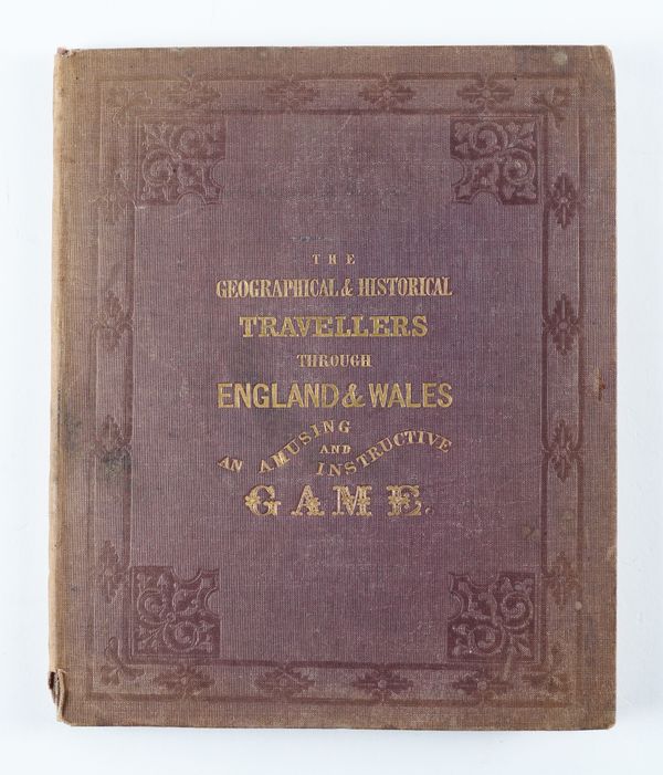
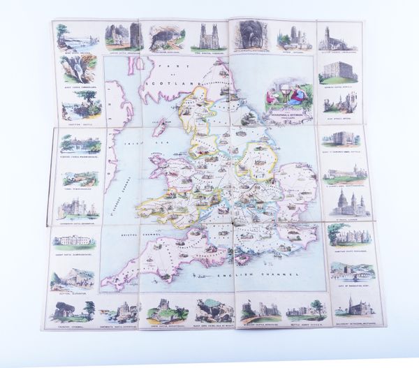
"The Geographical and Historical Travellers through England & Wales. An Amusing and Instructive Game," [?London, no publisher], c.1840, hand-coloured lithographed map, views, folding into original cloth folder lettered in gilt. RARE.
| Estimate: | £200 - £300 |
| Hammer price: | £100 |
"The Geographical and Historical Travellers through England & Wales. An Amusing and Instructive Game" [title taken from the upper cover of the folder]. [London: no publisher, n.d. but c.1840]. Hand-coloured lithographed map of England and Wales by T. Turner with allegorical title vignette and 28 vignette views of England and Wales in the borders, the whole on 12 sections mounted on linen (some light spotting and staining), folding into original cloth folder lettered in gilt and decorated in blind (small piece torn away from foot of spine, a little faded in places), dimensions of map when unfolded 565 x 598mm.; dimensions when enclosed in folder 208 x 174mm. It is not clear how the game was to be played and it may be lacking an accompanying booklet which explains the rules, since no explanation is provided on the map or folder. The only clue is a line on the map linking various numbered destinations, starting with St. Ives [Cornwall] (numbered 1), passing seemingly at random through various destinations across England and Wales and finishing at London (numbered 102). Provenance: The Property of the late Frank Graham (1913-2006, modern bookplate), and thence by descent. We have been unable to locate any other examples of the game listed under the title printed on the cover; there is, apparently, no copy in the British Library. RARE.

