Buyers Premium 25% + VAT | VAT is not applicable on bound books
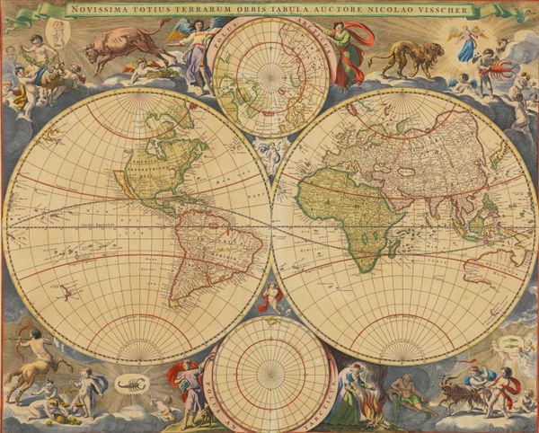
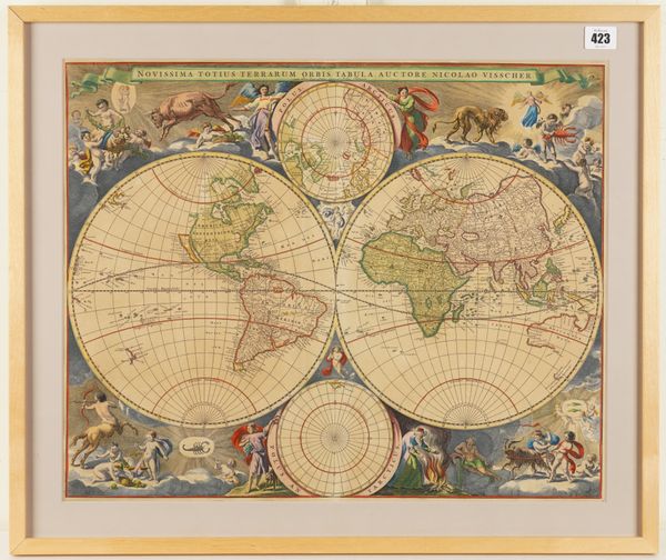
VISSCHER, Nicolaes (1618-79). Novissima totius terrarum orbis tabula, [Amsterdam, c.1695], hand-coloured twin-hemisphere world map, with California as an island, Australia and Tasmania with partial outlines, 425 x 525mm., framed and glazed. A FINE COPY.
| Estimate: | £500 - £800 |
| Hammer price: | £1,100 |
VISSCHER, Nicolaes (1618-79). Novissima totius terrarum orbis tabula ... cum Privilegio Ordin: General: Belgii Foederati. [Amsterdam: c.1695]. Hand-coloured engraved twin-hemispherical world map with the north and south Polar spheres, elaborately decorated in the borders with allegorical and mythological scenes and the signs of the zodiac, with California as an island, and Australia and Tasmania with partial outlines, the south Pole with no land mass, blank on the verso (some very faint, barely perceptible, browning), 425 x 525mm., framed and glazed. A FINE COPY of the second state of this highly decorative world map, with "cum Privilegio Ordin: General: Belgii: Foederati" in the top banner. "It is not certain when this further world map by Nicolaas [sic] Visscher first appeared. It may well have been produced by Nicolaas Visscher II following the death of his father ... in 1679 and this date has been suggested by Keoman. Geographically it is almost identical to the Visscher-Bercham map of 1658, the only difference being the reduced extent of Anian [i.e. the semi-mythical Strait of Anián] which now occupies ten degrees rather than twenty degrees in the smaller north polar projection at the centre top. The surrounding decoration is however quite different from Visscher's earlier map. In the corners are vivid scenes showing the various signs of the zodiac accompanied by cherubs and other heavenly figures. There is no signature of any engraver. Examples of the map occur in Visscher atlases which can be dated from 1680, particularly the Atlas Minor. A later state with cum Priveligio Ordin: General: Belgii Foederati printed below the title appeared in Van Keulen's 1695 atlas" (Shirley). Shirley The Mapping of the World. Early World Maps 1472-1700 486.


