Buyers Premium 25% + VAT | VAT is not applicable on bound books
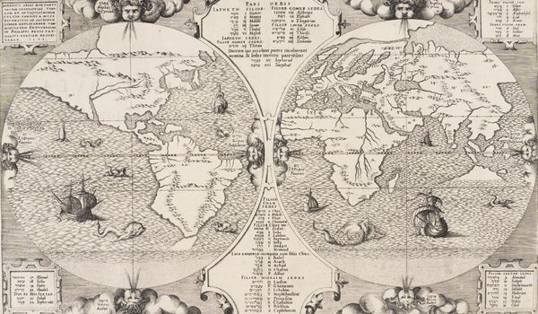
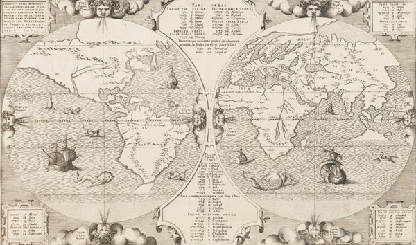
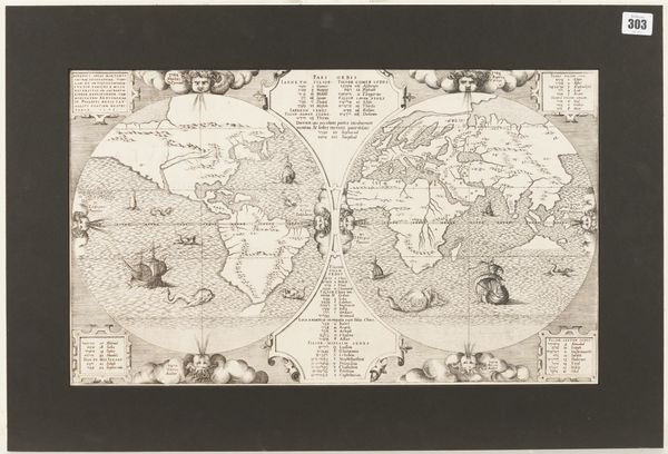
ARIAS MONTANUS, Benedictus (1527-98). Sacra geographiae tabulam, Antwerp: [Plantin], 1571 [but 1572], engraved twin-hemisphere world map, galleons and sea-monsters, 315 x 530mm. AN EXCEPTIONALLY FINE COPY OF THE VERY RARE FIRST STATE. Shirley 125. RARE.
| Estimate: | £2,000 - £3,000 |
| Hammer price: | £3,200 |
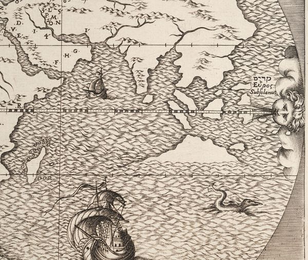
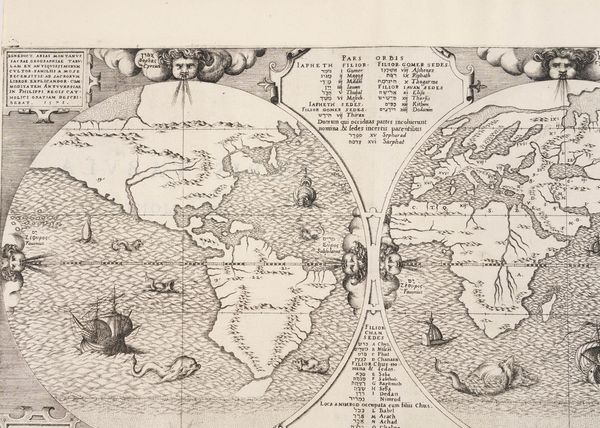
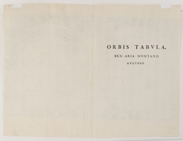
ARIAS MONTANUS, Benedictus (1527-98) [with variants]. Sacra geographiae tabulam ex antiquissimorum cultor. Familiis a mose recensitis: ad sacrorum libror explicandor. Commoditatem Antwerpiae in Philippi Regis Catholici gratiam describebat. Antwerp: [Christopher Plantin], 1571 [?but 1572]. Engraved twin-hemisphere world map, Hebrew and Latin text in baroque panels, 8 cherubim wind-heads, galleons and sea-monsters (trimmed close to the engraved frame at the top left corner, two small modern paper hinges on the verso of the extreme upper edge of the map, attaching it to the mount), 315 x 530mm., in window mount. AN EXCEPTIONALLY FINE COPY OF THE VERY RARE FIRST STATE of this map "of which the greater number of impressions were lost at sea on route [from Antwerp] for Spain" (see Shirley), with "Orbis Tabula. Ben. Aria Montano. Auctore" printed on the verso, and without "gentes" below "Iektan" printed in the lower left panel on the recto. The map is particularly renowned for its intriguing depiction of a coastline which roughly corresponds to the northern coast of Australia, long before that country's "official" European discovery by the Dutch in 1606. Also depicted is a land bridge between Asia and the Northwest coast of America. "Benito Arias [i.e. Benedictus Arias Montanus], called Montano from his birthplace, edited [an] eight-volume Polyglot Bible with text in Hebrew, Greek, Latin and Syriac. It was prepared under the patronage of Philip II of Spain and published between 1569 and 1572, with the printing being carried out by Plantin of Antwerp. Volume 8, issued in 1572, contains a well-engraved world map. Inserted principally for theological reference it shows, amongst other detail, how the tribes of Israel were disseminated. The title is in a panel in the top left-hand corner: other panels contain text in Hebrew and Latin. There is an unusual island shown in the position of Australia which has given rise to speculation, although in common with other spurious land masses off the east coast of America it probably represents no more than the engraver's licence. The map from the first edition, of which the greater number of impressions were lost at sea on route for Spain, has printed on the verso Orbis Tabula. Ben. Aria Montano. Auctore. In state 2 the word gentes has been added below the word Iektan in the lower left panel" (Shirley). Shirley The Mapping of the World. Early World Maps 1472-1700 125 (see note above); Wagner The Cartography of the Northwest Coast of America 86: "America is of a modified Gastaldi type No. 1, with no names, and North America extends to the North Pole." RARE.
