Lot 260
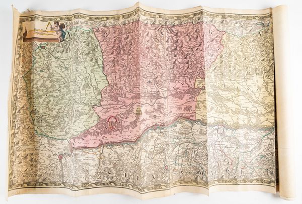
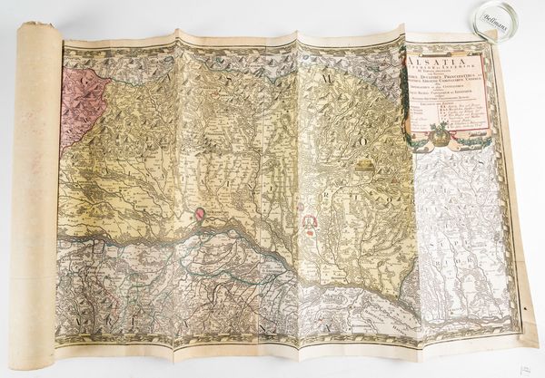
SEUTTER, Matthäus (1678-1757). Alsatia Superior et Inferior, [Augsburg, c. 1730], large hand-coloured engraved map, 590 x 1,730mm. With 12 other maps and views on 13 sheets. (14)
| Estimate: | £70 - £100 |
| Hammer price: | £35 |
Bidding ended. Lot has been sold.
SEUTTER, Matthäus (1678-1757). Alsatia superior et inferior. III. Tabulis delineata. [Augsburg, c. 1730]. Large hand-coloured engraved map, title within baroque cartouche (torn at margin, some repairs on verso), 590 x 1,730mm. The map charts the course of the Rhine, reoriented from west to east, from Basel, via Strasbourg, to Jockgrim ("Jockenum"). With 12 other maps and views on 13 sheets (some facsimiles). (14)

