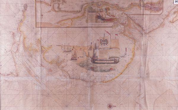
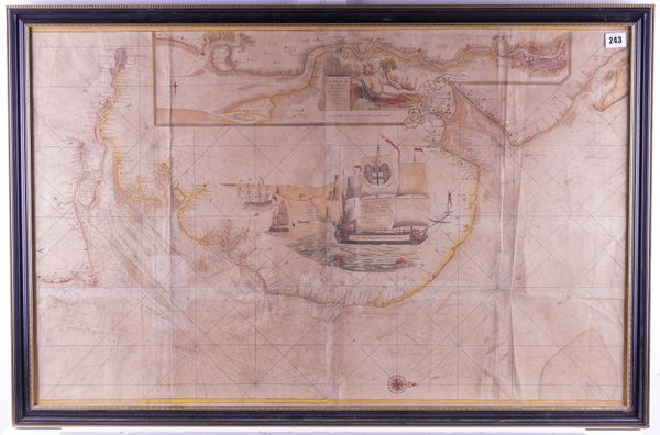
COLLINS, Greenville (1643-94). The River of Thames from London to the Buoy of the Noure, London, [1693 or later], large hand-coloured engraved coastal chart, 590 x 930mm., framed and glazed.
| Estimate: | £200 - £300 |
| Hammer price: | £100 |
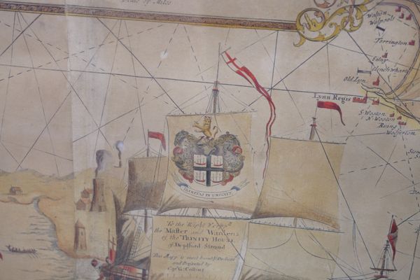
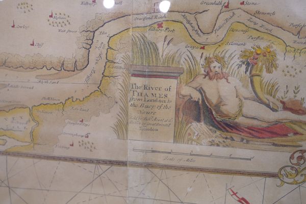
COLLINS, Greenville (1643-94). The River of Thames from London to the Buoy of the Noure. London: "Sold by Richard Mount at the Postern on Great Tower Hill," [1693 or later]. Large hand-coloured engraved coastal chart on 2 sheets, joined, additional inset chart with title on a plinth beside a reclining figure of Neptune, elaborate central vignette of galleons with printed dedication, "To the Right [Worshipful] the Master and Wardens of the Trinity House of Deptford Strond [sic]" and the coat-of-arms of Trinity House on one of the galleon's sails, compass rose at the foot of the main chart with north oriented to the right (lightly browned over the whole surface apart from a few strips at folds, some wear and creasing to lower half of join), 590 x 930mm., framed and glazed. The chart is taken from Captain Greenville Collins' "Great Britain's Coasting Pilot", first published in 1693. It contains the earliest hydrographic charts of the country which were based on surveys undertaken by Collins between 1681 and 1693. The charts remained in print throughout the 18th-century.


