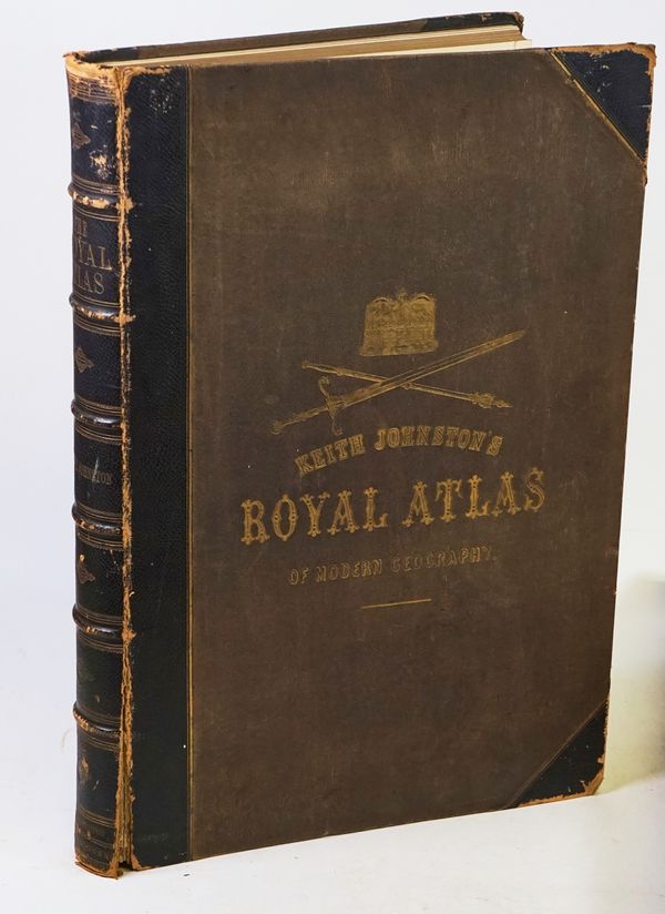
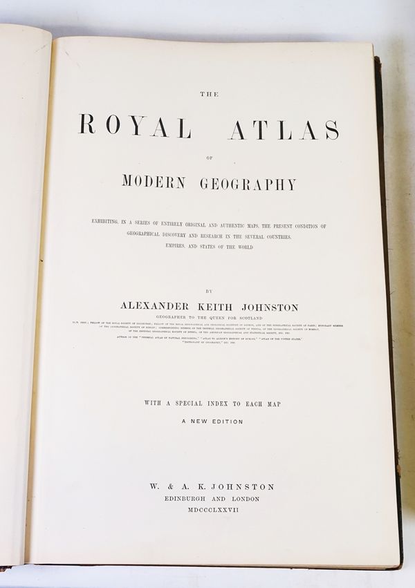
JOHNSTON, Alexander Keith (1804-71). The Royal Atlas of Modern Geography. [etc.]
| Estimate: | £100 - £150 |
| Hammer price: | £320 |
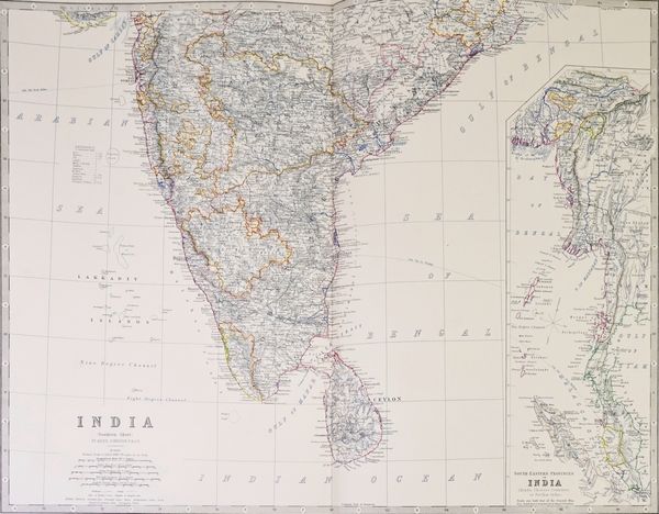
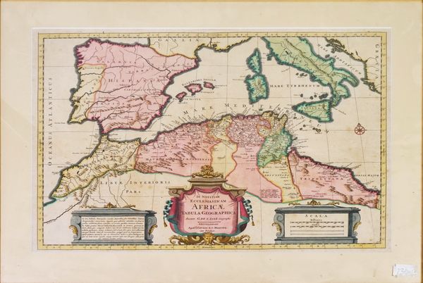
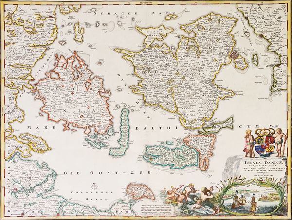
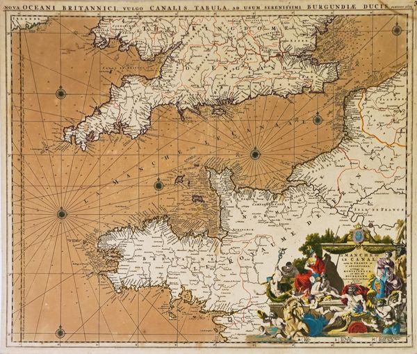
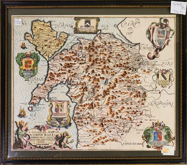
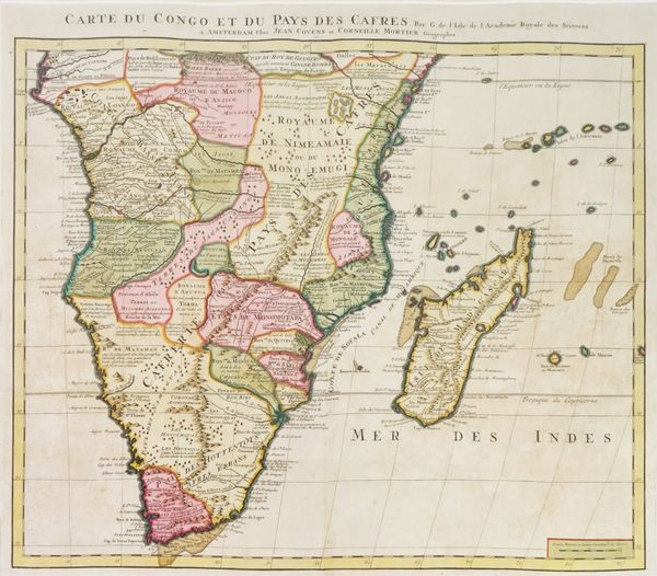
JOHNSTON, Alexander Keith (1804-71). The Royal Atlas of Modern Geography … A New Edition. Edinburgh: W. & A. K. Johnston, 1877. Folio (493 x 330mm). Coloured double-page frontispiece with overlay, 48 double-page maps. Original half morocco gilt, gilt edges (joints split, rubbed and bumped, upper inner hinges reinforced). With a small quantity of maps including Richard Blome’s A General Mapp of North Wales ([London, c. 1673 or later]), Jean Covens & Corneille Mortier’s Carte du Congo et du Pays des Cafres ([Amsterdam, c. 1732]), Guillaume de l’Isle’s In Notitiam Ecclesiasticam Africae Tabula Geographica (Amsterdam, c. 1716]) and Johann Baptist Homann’s Insulae Danicae ([Amsterdam, c. 1730]), some framed and glazed. Please note that only a part of this lot is illustrated. (qty)
