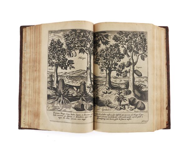
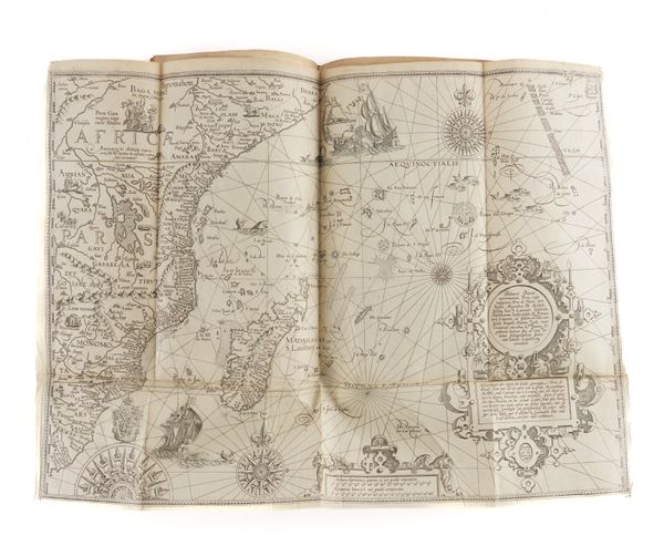
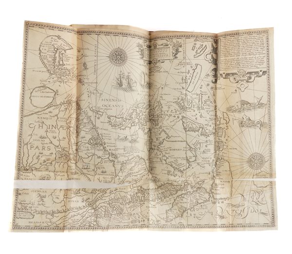
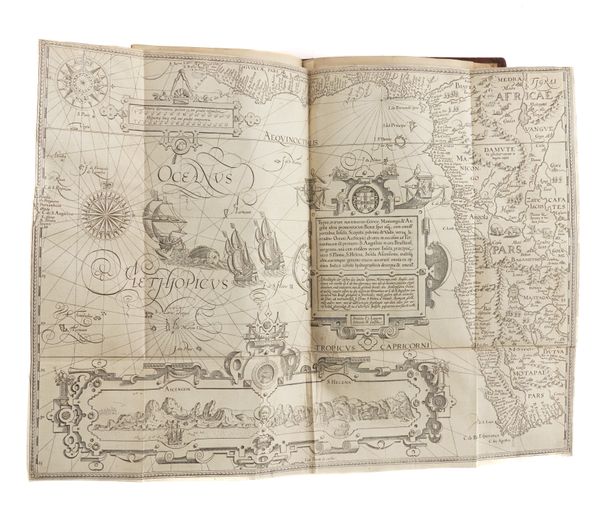
LINSCHOTEN, Jan Huygen van (1563-1611). Histoire de la Navigation ... Aux Indes Orientales, Amsterdam, 1638, 3 parts in one volume, folio, 3 engraved titles, portrait, 6 maps, 33 plates (?only of 36), contemporary calf (re-backed). Third French edition.
| Estimate: | £3,000 - £5,000 |
| Hammer price: | £16,000 |
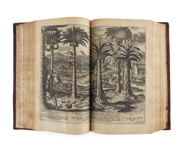
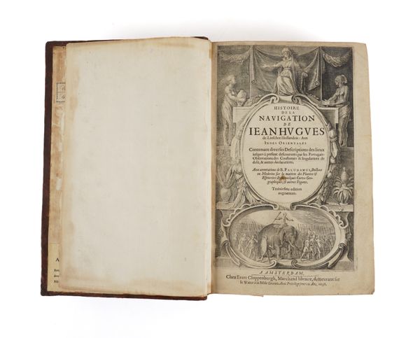
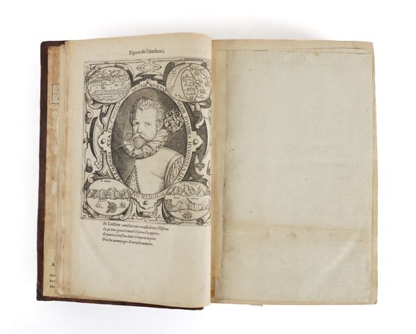
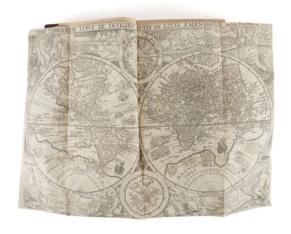
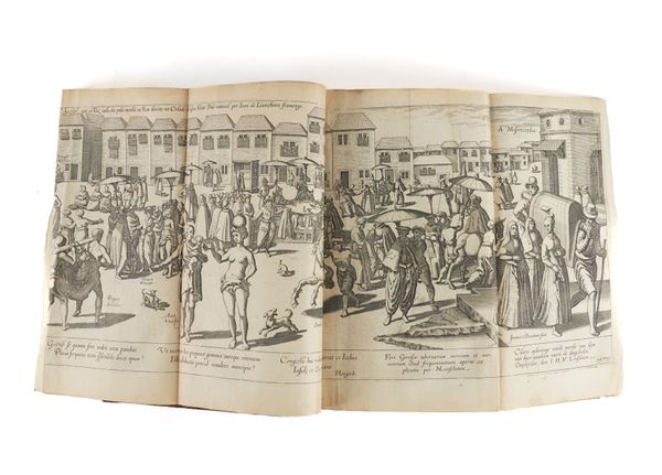
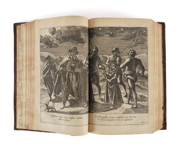
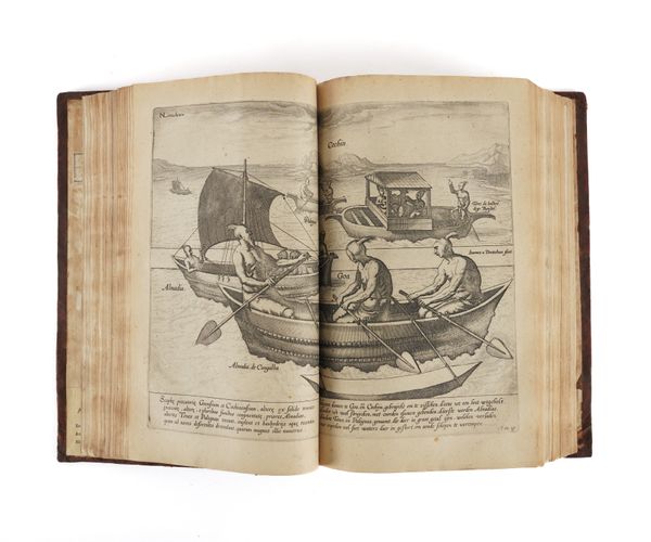
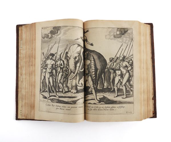
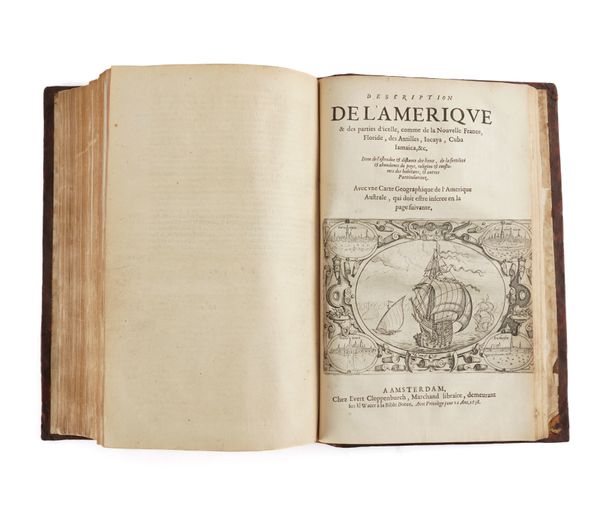
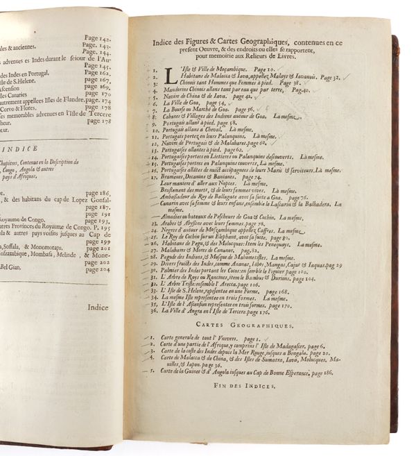
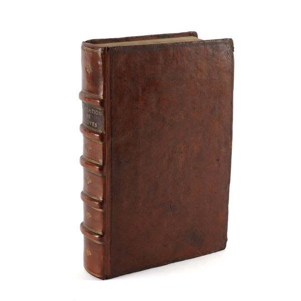
LINSCHOTEN, Jan Huygen van (1563-1611). Histoire de la Navigation de Jean Hugues de Linschot Hollandois: Aux Indes Orientales. Contenant diverses Descriptions des lieux iusques à present descouverts par les Portugais: Observations des Coustumes & singulaitez de del, & autres declarations. Avec annotations de B. Paludanus, Docteur en Medecine sur la matiere des Plantes & Especeries: Item quelques Cartes Geographiques, & autres Figures. Troixiesme edition, augmentee. Amsterdam: "Chez Evert Cloppenburgh, Marchand libraire, demeurant sur le Water a la Bible Doree," 1638. 3 parts in one volume, folio (297 x 192mm). Elaborate engraved allegorical title incorporating two baroque cartouches, with 2 further engraved part-titles, namely, "Le Grand Routier de Mer" and "Description de l' Amerique & des parties d' icelle, comme de la Nouvelle France, Floride, des Antilles, Iucaya, Cuba, Jamaica, &c.", engraved three-quarter length portrait of the author within baroque cartouche on the verso of the "index" leaf, large folding twin-hemisphere map of the world by Petrus Plancius ("Orbis Terrarum Typus de Integro Multis in Locis Emendatus") dated 1595 [Shirley 187] and 5 other folding maps, 33 engraved plates (?only, of 36), of which 30 double-page and three folding (small stain on the first engraved title, two maps torn and repaired with slight loss, some plates and maps mounted on later hinges, some leaves lightly stained or browned with some minor mainly marginal worming, some darker spots, final text leaf of last part torn and neatly repaired affecting a few letters). Contemporary speckled calf gilt (re-backed in old-style with 5 raised bands and preserving the original red morocco lettering-piece, some rubbing and repairs at edges of boards, inner hinges inconspicuously reinforced). Provenance: Earl of Roden (armorial bookplate and old label); "Biblioteca de Agustin Edwards" (library label); "3 plates are missing but it possesses two which are not listed" (later pencil inscription on the front free endpaper, seemingly erroneous). THE THIRD FRENCH EDITION of this highly influential work - the most comprehensive illustrated travelogue of its time - containing all the knowledge and learning relating to the East and West Indies at the beginning of the 17th-century, in addition to describing, in the second part of this edition, the navigation of the coasts of West Africa around the Cape of Good Hope to Arabia, and, in the third, the coasts of Florida, the Caribbean and Brazil. Through its various editions, the book served as a direct stimulus to the building of the English and Dutch trading empires, and it was so highly esteemed as a functional navigational aid that a copy was given to each ship sailing for the Indies, a fact that accounts for the generally poor condition of many copies, unlike the present one, which is remarkably well preserved. The work has a complicated publishing history. It was first published in a Dutch edition in 1595, followed by Latin and English translations in 1598. The first French edition appeared in 1610, but with plates which were reduced versions based on those of De Bry. The second French edition, of 1619, and the present third one of 1638 - with commentaries by the physician and collector Bernard Paludanus (1550-1663) - returned to the original folio-sized plates of the Dutch edition, and, for this reason, are considered the most desirable. These last two French editions also include, for the first time, the two additional parts described above. The present copy comprises a total of three engraved titles, an engraved portrait, six folding maps and 33 double-page or folding plates. All of the plates are in the first part. Three of the six folding maps are in the first part and three in the second part. The third part contains no plates or maps, only its engraved title. The list of plates calls for a total of 36, suggesting that the present copy is lacking three. However, plate and map counts vary in other copies, and collating the work against its own list of plates has its own pitfalls since the plates are unnumbered and are rarely placed at the page numbers indicated. In addition, the titles of the plates in the list usually bear little relation to the captions on the plates themselves, or are open to interpretation: this is not helped by the fact that the titles in the index are in French, whereas the captions beneath the plates themselves are in Latin and Dutch. It seems quite possible that some of the plates are counted as two or more, since they have two or more subjects. On the list of plates, plate numerals 18 - 22 are omitted, although their plate titles remain, unnumbered, in sequence [see illustration]: it is unclear what this signifies, if anything, but it could suggest that the subjects are compressed onto fewer separate sheets, which would then reduce the overall apparent plate count when counting the sheets alone rather than relying on the numbering. The list also calls for only five maps, and not six, as are included here. Please see further illustrations of the lot provided in the link below. Alden 638.67; Borba I, 490; Brunet III, 139: "Cette traduction [française] [included in the 1610, 1619 and 1638 editions] est plus recherchée que l' édition latine"; Palau 138584; Penrose Travel and Discovery in the Renaissance 1420-1620 p.311; Sabin 41373; Tiele 686-88.
