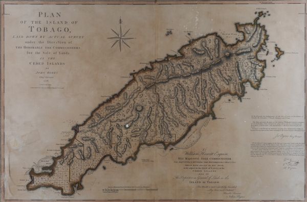
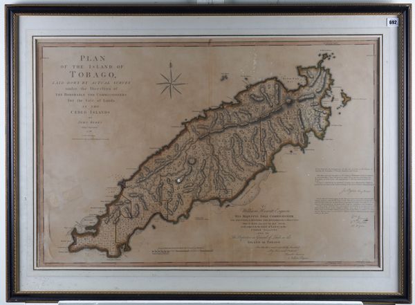
TOBAGO - John BYRES (dates unknown). Plan of the Island of Tobago, London, 1794, engraved map of Tobago, hand-coloured in outline, 620 x 910mm., framed and glazed. With another map of Tobago and a related engraving, both framed and glazed. (3)
| Estimate: | £200 - £300 |
| Hammer price: | £700 |
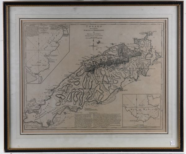
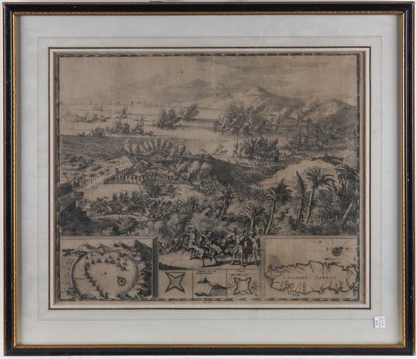
TOBAGO - John BYRES (dates unknown). Plan of the Island of Tobago, laid down by Actual Survey under the Direction of the Honorable the Commissioners for the Sale of Lands in the Ceded Lands. By John Byres. Chief Surveyor. 1776. London: "Republished 14 July 1794, by Robert Wilkinson". Large engraved map of Tobago, hand-coloured in outline (lightly browned, some light spotting), 620 x 910mm., framed and glazed. Following the Seven Years War in 1763, France ceded the islands of Tobago, Dominica, St Vincent, Bequia and Grenada to Britain, whereupon the land was divided up for sale or lease to sugar planters. With Thomas Jefferys' Tobago from Actual Surveys and Observations (London, Robert Sayer, 1775, engraved map, framed and glazed) and an 18th-century engraving of related interest incorporating depictions of sea and land-battles and a small inset map of Tobago. (3)


