Lot 649
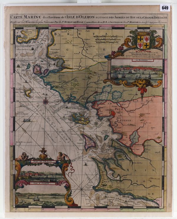
HOOGHE, Romein de (1645-1708). Carte Marine des Environs de l' Isle d' Oleron a l' Usage des Armees du Roy de Land Grande Bretagne, Amsterdam, [Pieter Mortier], 1693, hand-coloured engraved chart, inset views, 635 x 508mm., unframed.
| Estimate: | £400 - £600 |
| Hammer price: | £300 |
Bidding ended. Lot has been sold.
HOOGHE, Romein de (1645-1708). Carte Marine des Environs de l' Isle d' Oleron à l' Usage des Armées du Roy de Land Grande Bretagne. Amsterdam: chez P. Mortier, 1693. Hand-coloured engraved chart, inset view of La Rochelle surmounted by the arms of the dedicatee, Willem Fabritius, inset views of the Port de Marans and Isle d' Oleron within elaborate allegorical cartouches, 635 x 508mm., unframed. Provenance: The Mopelia Collection. Koeman IV, M.Mor 5 E, chart 6.
