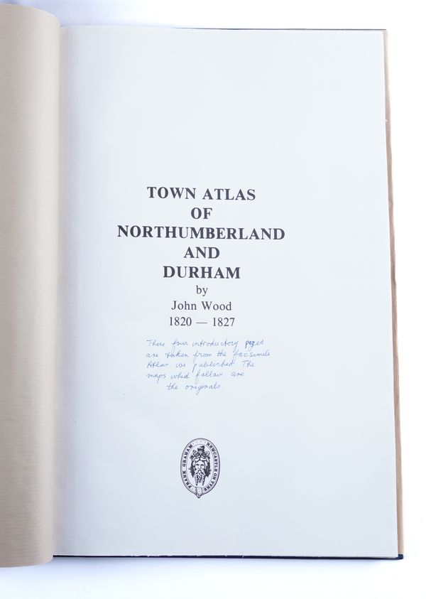
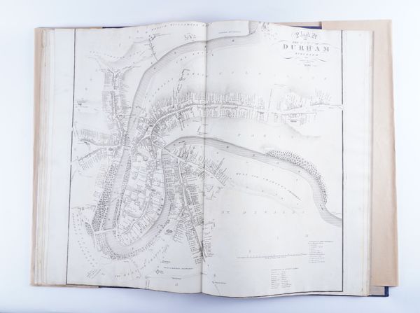
WOOD, John (d.1847, cartographer). "Town Atlas of Northumberland and Durham." [Title on inserted leaf.] Edinburgh: John Wood, [1822-28]. Folio (570 x 382mm). 15 double-page engraved town plans, collected in a modern atlas. Please see footnote below.
| Estimate: | £300 - £500 |
| Hammer price: | £1,300 |
WOOD, John (d. 1847, cartographer). "Town Atlas of Northumberland and Durham." [Modern title on inserted leaf.] Edinburgh: John Wood, [1822-28]. Folio (570 x 382mm). 15 double-page engraved town plans, some with hand-colouring. Modern half dark blue leather gilt. The ORIGINAL ENGRAVED TOWN PLANS included here are of Berwick, Alnwick, Morpeth, Hexham, Newcastle [on 2 sheets], North Shields and Tynemouth [on 2 sheets], South Shields, Sunderland [on 2 sheets], Durham (cropped at head), Darlington, Stockton and Barnard Castle. Facsimile copies of these plans by John Wood were included in an atlas produced by Frank Graham, limited to 400 copies, in 1992, whose printed introduction states: "... The date of [John Wood's] birth is unknown but his first recorded work was published in 1818. He died on 11th July, 1847, at Portobello. From 1818 to 1830 he engraved 52 plans of Scottish towns, of which 48 were published in Atlas form in 1828. Mr D. G. Moir (secretary of the Royal Scottish Geographical Society) has traced 59 plans of towns in England Wales. They were never collected into an Atlas ... [Graham goes on to list the plans included in the present atlas] ... Where he lived in 1826 and 1827 when he was doing the north country maps is unknown. On most maps he gives his address as Paradise by Barnard Castle with Richmond on the Stockton and Darlington maps. We know nothing about how their publication was financed or how many copies were issued. Although the Northumberland and Durham maps were never published as an Atlas two bound sets only (to our knowledge) have survived. Of the individual maps only odd copies can be found. It is a great mystery why these maps are so rare. A reasonable number must have been printed to make the enterprise viable ..." Two newspaper articles regarding the production of the facsimile atlas are laid down on the front free endpaper, together with a prospectus for the work stating, "The [original] Atlas is excessively rare. I know of only two copies. Of the individual maps only odd copies have survived". Provenance: The Property of the late Frank Graham (1913-2006), and thence by descent; "These four introductory pages are taken from the facsimile Atlas we published. The maps which follow are the originals" (inscription on modern title). A folder of material, mainly newspaper articles, relating to the production of the facsimile atlas is included in the lot. RARE. Sold as a collection of maps, not subject to return.


